 +251-116-463-357
  2302
2302
Monday to Friday 8:30 Am to 5:30 Pm
Monday to Friday 8:30 Am to 5:30 Pm
The Geological Institute of Ethiopia;
To facilitate the utilization of the geoscience data of Ethiopia for developing the country’s mineral resources, so as to contribute as much as possible to its economic growth.
To carry out geoscientific surveys of Ethiopia so as to produce high quality geodata in a format suitable for easy utilization by end –users, thus enabling rapid development of the mining sector.

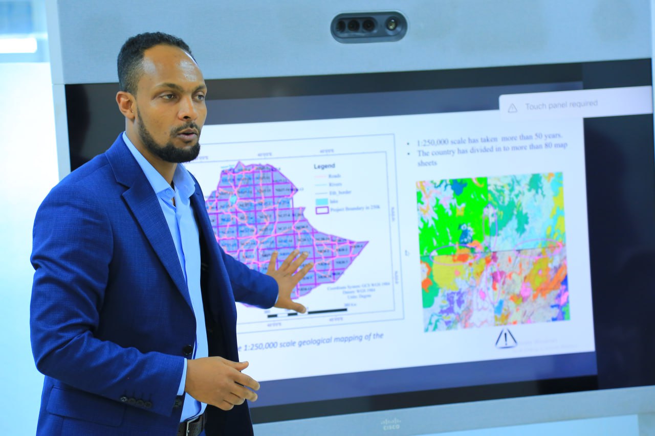
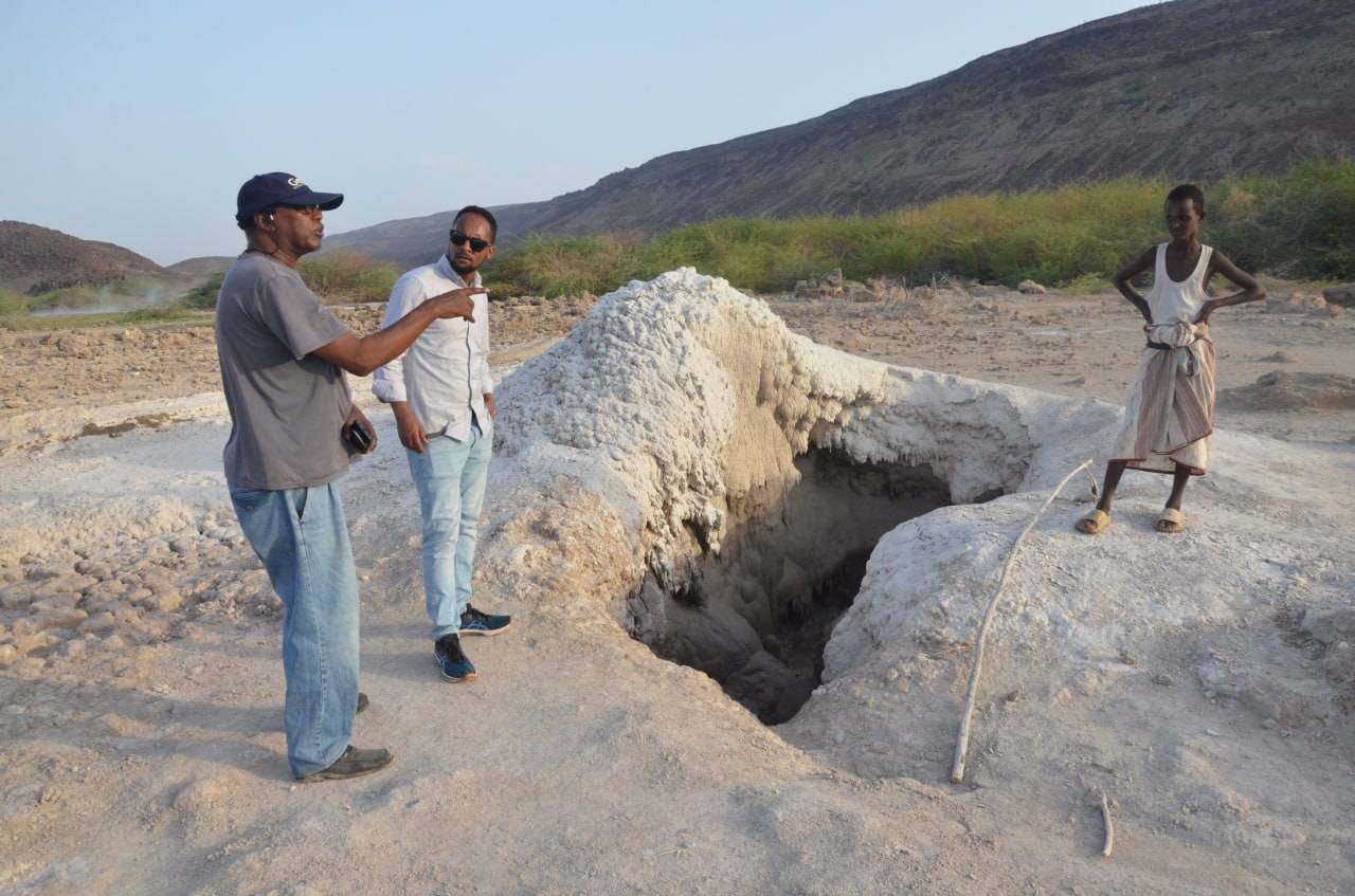
Generally GIE Carry out geosience mapping activities to produce detail maps and reports used in various undertakings. Evaluate the economic mineral potential of the country by conducting reconnaissance, follow-up and detailed exploration; Provide an assessment of groundwater situation by preparing hydrogeological maps at 1:250,000 and larger scales; Give geotechnical information essential to designs of all types of civil works and investigate natural hazard such as, landslide, slope instabilities and volcanic activities ; Explore for geothermal resources potential of the country; Conduct geophysical surveys ; Identify, analyze and interpret data from geological samples such as mineral, rock, soil, stream sediment, and water etc.; Collect, classify, store, display, publish and disseminate user oriented geoscience data of the country including museum-piece specimens; Carry out core, water well, and geothermal deep well drilling and associated geotechnical works; Provide consultancy service in the areas of hydrogeology and engineering geology etc. to government and non-governmental organizations; and Collect and own information related to earth science studies
To improve the quality and coverage of the geoscience data of the country.
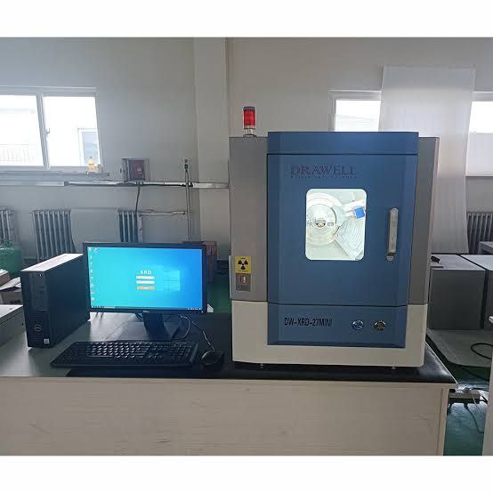
The Ethiopia Geological Institute is responsible for collecting of basic geoscience information from the whole country and disseminate to all stakeholders. The Ethiopia Geological Institute carries out geological mapping and investigations related to mineral resources, oil and natural gas, hydrogeology and engineering geology. It has well equipped laboratories capable of undertaking geochemical analysis of solid and liquid samples, physical property testing, and petrographic and mineralogical studies.
Plans are in-hand to enhance the capacity of the Ethiopia Geological Institute in order to ensure that they meet the highest international standards and provide an efficient and effective service to potential investors, both foreign and domestic.
Many of the reports and data generated by commercial and Government mineral surveys in Ethiopia can be obtained free of charge from the national Geoscience Information Centre at the Ethiopia Geological Institute or direct from the Ministry of Mines and Energy. Some digital geochemical data and a comprehensive digital mineral deposits database are also available. Geophysical surveys have been flown over most of the greenstone belts. In addition, particularly in the Southern Greenstone Belt, a substantial amount of ground geophysical data is available. Full details of these surveys can be obtained from the Geoscience Data Centre.
Geoscience Information
Headship
Geophysics certifie
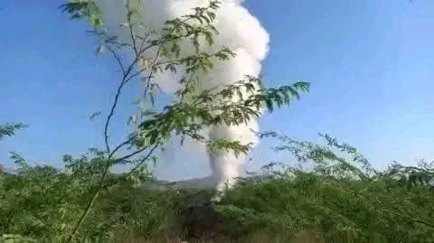
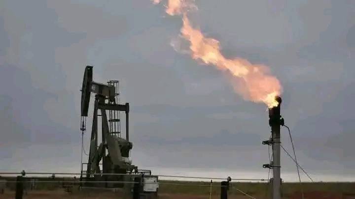
Geothermal